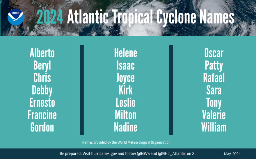
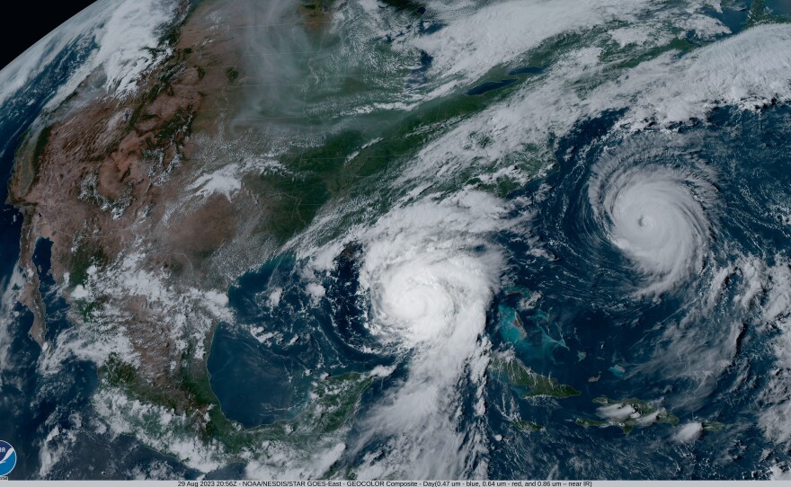
Residents along the Atlantic coast should prepare for an especially busy hurricane season, federal officials said this week – perhaps the worst since the 2005 season that churned out Hurricane Katrina.
The National Oceanic and Atmospheric Administration released its annual hurricane outlook Thursday, with high confidence of the severity of the season, which starts June 1 and stretches through November.
“This season is looking to be an extraordinary one,” said NOAA Administrator Rick Spinrad. “Past is not necessarily prologue when it comes to the hurricanes of the future.”
The agency is predicting the most storms it ever has ahead of a hurricane season.
Here’s what NOAA expects: 17 to 25 named storms, including up to 13 that become hurricanes and four to seven that are Category 3 or higher.
That’s up from last year’s forecast of 17 named storms and five to nine hurricanes. The season ended up with 20 named storms, seven of which became hurricanes.

There are several things driving the abnormal season, officials said.
Hurricanes form in the ocean when warm water evaporates into moist air, creating an area of low pressure underneath, according to NOAA. More air rushes in and rises, forming clouds and thunderstorms that release even more heat to power the storm.
Climate change accelerates that process by making the water warmer. The world’s oceans have broken temperature records every single day over the past year, according to a BBC analysis.
“The warmer ocean means it’s a more energetic ocean,” Spinrad said.
The naturally occuring La Niña climate pattern is another big factor. It can lead to a more severe Atlantic hurricane season by weakening easterly winds that would help mitigate cyclones.
A similar shift between El Niño and La Niña happened in the 2005 season with Hurricane Katrina, according to the Washington Post.
An above-normal west African monsoon season is also expected, which NOAA says could seed some of the strongest Atlantic storms.
“All the ingredients are definitely in place to have an active season,” said Ken Graham, director of the National Weather Service. “It’s reason to be concerned, of course, but not alarmed.”
At a press conference Thursday, he and others repeatedly emphasized that people need to prepare now, before a storm strikes.
Graham said residents of not only coastal, but also inland, communities should know their risk. Ninety percent of hurricane fatalities happen because of water, largely from heavy rainfall.
“It’s about the impacts, not the (hurricane) category,” Graham said.
This year, the National Hurricane Center will experiment with a new forecasting tool that displays inland and coastal wind warnings alongside its infamous “cone of uncertainty” graphic.
The goal is to allow greater focus on hazards extending outside of the traditional cone, officials said.
Spinrad praised NOAA’s “hurricane hunter” planes that fly into the center of storms to gather data. Those planes stopped by Norfolk earlier this month, one of five stops chosen for this year’s NOAA Hurricane Awareness Tour.
Here is some of emergency officials’ advice to prepare for hurricane season.
- Know your evacuation zone: Virginia’s coastal areas are divided into four tiered evacuation zones labeled A through D, A being the most vulnerable to catastrophic storm surge. Officials ask Virginians to “Know Your Zone” so you can heed evacuation orders. You can look up your zone on VDEM’s website. Once you know your zone, start planning how and where you’d evacuate if needed. And listen to the orders from local officials when they come.
- Start planning today – even if slowly: Robbie Berg with the National Hurricane Center previously told WHRO he knows it can be hard to think about disaster when busy with daily concerns. But he recommends factoring it in, like stocking up on nonperishable foods by adding an item or two during regular grocery trips. Also consider any special accommodations needed in your family, such as eyeglasses, medication or pet supplies.
- Check your insurance coverage: Many homes that would likely flood during a severe storm – including inland areas – do not require flood insurance, but you can opt to buy a policy voluntarily. Traditional homeowner’s insurance does not cover flooding. Berg said to keep in mind that there’s often a waiting period to start coverage, so the sooner the better. “You can’t get insurance when there’s a storm actually threatening you,” he said. Renters can also get policies to insure property within a home.


